Feature
The drone innovations taking off in Australia
Hardware and software must work together to push drones forward. Matt Farmer looks at the programmes innovating drone inspection in Australia, making imagery instant.
The range of imagery provided by drones continues to expand. Credit: Lucian Coman via Shutterstock
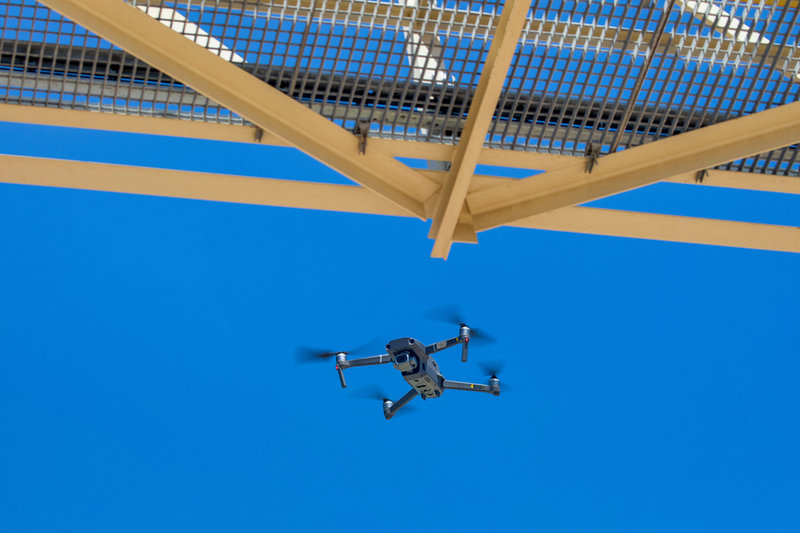
Thinking of drones as a recent development is easy. However, this ignores years of development as a military technology, followed by years of testing in the mining industry. Today, the area of advancement has moved beyond the drones themselves to the tools they use, and how they use them.
In 2017, MINE looked at a Japanese drone technology company setting up its business in Australia. Terra Drone’s unmanned aerial vehicles (UAVs) mapped mines using light imaging, known as Lidar. The company touted itself as the world’s largest drone service provider in 2020, until Malaysia’s Aerodyne group claimed the title in 2021 and 2022.
Even then, drones were mostly capable of autonomous flight, with one operator able to simultaneously manage multiple UAVs. However, these drones had a flight time of two hours, a statistic that now seems small thanks to advances in battery and mobile technology.
In 2019, fully autonomous drones promised to fly through underground mines, mapping shafts using Lidar independently. Since underground mines block GPS location data reaching the drones, here Lidar allowed them to simultaneously map the surroundings and work out their location.
These drones could operate beyond the line of site of their operator, unfolding a range of benefits from remote operations. While the benefits of imaging could be achieved with static or portable cameras, mounting the camera kit on drones is now effectively cheaper, giving greater coverage in a shorter space of time. Allowing workers to minimise their time in hazardous environments also brings safety benefits and came in useful as the Covid-19 pandemic incentivised remote working.
The drones of 2019 could create detailed maps and detect gases when their gathered data was given enough time and processing power afterward. But modern drones collect so much data that it has created a problem in itself: what is worthwhile? How can terabytes of scans from multiple different instruments become a readable conclusion, and does the answer lie in software or hardware?
From Lidar to hyper-spectral imaging, mapping a mine
Since that time, advances in technology and familiarity have made drones much more capable and useful in a mining environment. Part of this comes from the hobbyist scene, which has incentivised making drones smaller, more affordable and easier to use.
While Lidar remains in use for mapping mine sites, drones can now carry out multi-spectral imaging, giving a range of useful indicators. For the mining industry, multi-spectral cameras offer an overview of the chemicals found within scanned soil and whether it has been disturbed or not. The technology can also measure plant growth around a site, measuring a project’s direct impact on biodiversity.

With a single instrument, you can capture multi-dimensional data with comprehensive environmental and mineral information
Beyond this lies hyper-spectral imaging, which combines multi-spectral imaging with information beyond visible light, such as infrared. University of Queensland associate professor Steven Micklethwaite describes it: “The beauty of hyperspectral drone technology is that, with a single instrument, you can capture multi-dimensional data with comprehensive environmental and mineral information.
“One fly-over an open pit can give chemical, physical and mineralogical insights that can be used to optimise decision-making around everything from resource management and pit operations to mineral processing and tailings disposal.
“Likewise, a single scan of the landscape surrounding an operation can provide [mine] closure professionals and environmental scientists with data on plants, soil and water. It can also provide early-stage upstream information on what future mine waste will look like – an increasingly important topic for companies and society – and then be used to characterise the waste and even inform the prospects for re-mining that waste for secondary value.”
EU project testing drones in Australia
The professor made these comments on the launch of a project that hopes to innovate drone scanning technology across the world. Backed by the EU’s Horizon Europe fund, the M4mining project aims to improve identification of ground materials during and after extraction via drone imaging. Announced in December 2022, it will use imagery from both drones and satellites to develop software and hardware to aid the mining industry. With drones, it hopes to develop real-time mineral classification in 3D.
Norway’s independent research institute Norce has taken lead of a consortium of collaborating companies. These include private researchers in Norway and Germany, universities in Sweden, Greece and Australia, and part of the government of Cyprus. Imagery software companies Prediktera, from Sweden and ReSe Applications from Switzerland are also involved.
As such, many of the projects’ case studies operate in Europe, but tests will also take place in Australia. While it remains relatively young, with current work including raising awareness at trade shows and deciding the scope of the project, researchers seem optimistic.
There are still several technical and scientific challenges to be solved, making new algorithms safe, fast and robust enough
Simon Buckley, a principal researcher at Norce and scientific coordinator for M4mining, said that he aims to make sites more efficient and environmentally sustainable. He continued: “We already have some of the main technology building blocks required and a really strong consortium that has worked on hardware, software and sustainable mining research for many years.
“We will develop the technology further to achieve real-time monitoring. There are still several technical and scientific challenges to be solved – the hardware and software, new algorithms and making them safe, fast and robust enough to work in challenging operational environments. No available solution is currently delivering real-time results.”
Katerina Savinova, research fellow at the University of Queensland’s Sustainable Minerals Institute, outlined some of the technical difficulties: “To start with, hyperspectral sensors need to be tailor-made to fit to a drone and once it’s attached, require a massive amount of data storage to deal with the terabytes produced in a single flight.
“That data itself is also very complicated and difficult to process for non-experts, with atmospheric moisture content, cloud cover, the shape of the ground’s surface and vegetation potentially distorting it.”
This is where analytical software comes in. Just as automated satellite imagery processing aims to recognise various factors and give information about human movements, so does interpretive imagery software for drones allow users to avoid processing raw data from machines and instead read only the information it results in.
The Australian Scalable Drone Cloud
Elsewhere in Australia, a more home-grown system for processing drone data is currently undergoing beta testing. Planning to launch later this year, the researchers and developers behind the Australian Scalable Drone Cloud (ASDC) hope to create new standards for drone inspection.
The ASDC platform comes from the collaboration of several Australian research agencies, including CSIRO and TERN. The work reaches beyond conventional mining: Among other things, the program can unify data on reefs for conservation, and map sea beds. It can also track plant growth over time, interpolating from drone imagery and allowing site managers to consider when to prune trees most efficiently.
These make for a reliable industry standard in an area that is still developing
Rather than relying solely on accurate 3D input from hardware, the ASDC can create 3D models of landscape from still imagery. It can draw data from pre-processed maps, models, point clouds and digital surface models processed in other software, as well as raw photogrammetry photos, LiDAR point clouds, videos and multispectral datasets.
Despite this functionality, an amount of the ASDC’s work relies on standardising the data received from drones. The slogan for this is to make data FAIR: findable, accessible, interoperable, and reusable. This means establishing standards of metadata and licensing, while keeping the actual files themselves in a universally readable format. These principles align closely with those of open-source software development, and while they may sound unappealing to some businesses with private interests, they make for a reliable industry standard in an area that is still developing.
The project also offers a key factor of importance to larger industry, here placed in the name of the project: scalability. The ASDC asserts that using cloud processing via an online platform allows for processing of larger volumes of data more easily, as well as making processing more portable and accessible in the field. Naturally, it also prevents the sort of loss or corruption that data can succumb to with on-site servers, with the natural caveat of maintaining good practice and training in use of the online platform.
Online, project leaders describe it as “the first cloud-based drone data processing program that has a fully open-source infrastructure focused on the automation, pipelining and standardisation of drone data. The platform helps users who need efficient, scalable, processing and analysis capability but aren’t interested in procuring and managing dedicated infrastructure.”
This is the software approach to imagery analysis and the question that businesses interested in using drones need to answer. Both the software and hardware of drone surveying can be outsourced, with various advantages and drawbacks. In smaller companies, maximum outsourcing makes sense, but medium and larger enterprises will need to decide what can be done in-house, on cost and time advantages as well as what data they need from a mining survey drone.
Obviously, software and hardware must work in tandem to produce usable results, but those interested in drone survey may be surprised by the capabilities of new hardware and what can be learned from better analysis of existing imagery.