Cover Story
Tech focus: digital tools for tailings monitoring
From satellite networks to digital twins, Scarlett Evans looks at the latest digital tools for tailings monitoring at mines.

Credit:
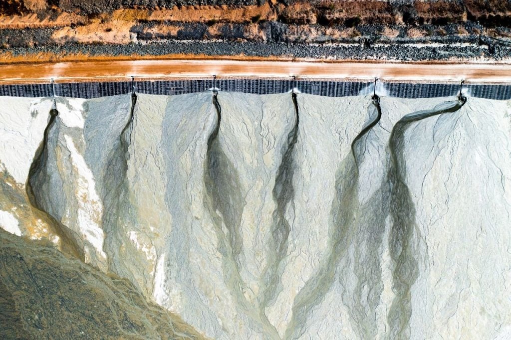
Tailings – toxic waste products from mining – have long been a challenge for the mining industry. These hazardous materials are stored in dams, referred to as tailings storage facilities’ (TSFs), that measure tens of metres and, if destabilised, can cause loss of life/infrastructure and long-term pollution.
Exactly how to manage tailings materials is a question that is becoming increasingly pressing as traditional manual methods prove insufficient to keep up with demands. The World Bank estimates that for the global energy transition, three billion tonnes of minerals are needed by 2030 – with this figure only a fraction of the amount of waste materials that such efforts will generate.
Yet innovators and engineers are working to keep pace with the landscape, creating more sophisticated tools and software for miners to monitor and manage tailings facilities. Tools such as satellite sensing and machine learning (ML) are being increasingly deployed to enable in-depth, real-time monitoring. This allows miners to pursue rapid expansion without jeopardising safety standards.
The problem of tailings management
The World Mine Tailings Failures report estimates there are between 29,000 and 35,000 TSFs in the world. A quarter of these are abandoned or unmonitored.
The impact of damage to these structures, if left unchecked, has been evidenced time and again, with collapses seen at dams in Canada, Australia, South Africa and, most notably, at the Brumadinho dam in Brazil in 2019.
The Brumadinho disaster, where ten million cubic metres of waste burst out of the dam, killed at least 270 people, destroyed buildings and caused long-term environmental damage to the Paraopeba River, costing the mining company in question $7bn in damages.
While Brumadinho was not a unique event, it was a tragedy that served as a catalyst for regulatory change. It also renewed pressure on miners to update their systems.
One outcome was that the Church of England (which has a major stake in mining operations in Brazil) launched the Ethical Investors Group. This organisation requires mining companies to disclose the risk of tailings storage failures before receiving investment – putting pressure on miners to boost visibility of conditions across operations.
The World Mine Tailings Failures report estimates there are between 29,000 and 35,000 TSFs in the world.
“This was amazing, because this kind of disclosure is typically very hard to get,” says Maral Bayaraa, an Oxford University researcher investigating the use of satellite technology to create early warning systems for tailings dams.
Now, this kind of disclosure is crucial for mining companies seeking investment. An EY report found that of the environmental, social and governance factors facing the most scrutiny from investors in 2024, tailings and waste management is number two, with 55% of respondents identifying it as a concern.
“Mining companies are seeing twofold pressure to improve safety tech,” Bayaraa adds. “This is partially due to financial pressure from investors, who are responding to dropping commodity prices and the need to produce more metals, but also from engineers on the ground to make these dams safer.
“The net outcome is that investment into monitoring tech is seeing an increase.”
Satellite technology for tailings dam monitoring
One of the main tools being harnessed to tackle tailings management is satellite technology.
“It’s a no-brainer because it can help companies monitor thousands of structures all over the world – and now, with the rise of AI and ML, there are new tools emerging to really move the industry along,” explains Bayaraa.
While satellite data has long been used for monitoring purposes, the recent influx of satellites available and their increasing capabilities has breathed new life into the field.
Bayaraa’s own project, Digital Twins 4 Tailings Dams, uses interferometric synthetic-aperture radar (InSAR) satellites to monitor ground movements at tailings dams, combining this earth observation tech with machine learning to track changes and forecast potentially catastrophic failures.
“At first, a lot of the engineers I spoke to were reluctant to even consider AI because there was a lot of uncertainty around its accuracy,” Bayaraa shares. “So I have been looking into the limitations around this tech, as well as the opportunities”
“We have a prototype, but a lot of tests are still needed because it is still a developing field of research.”

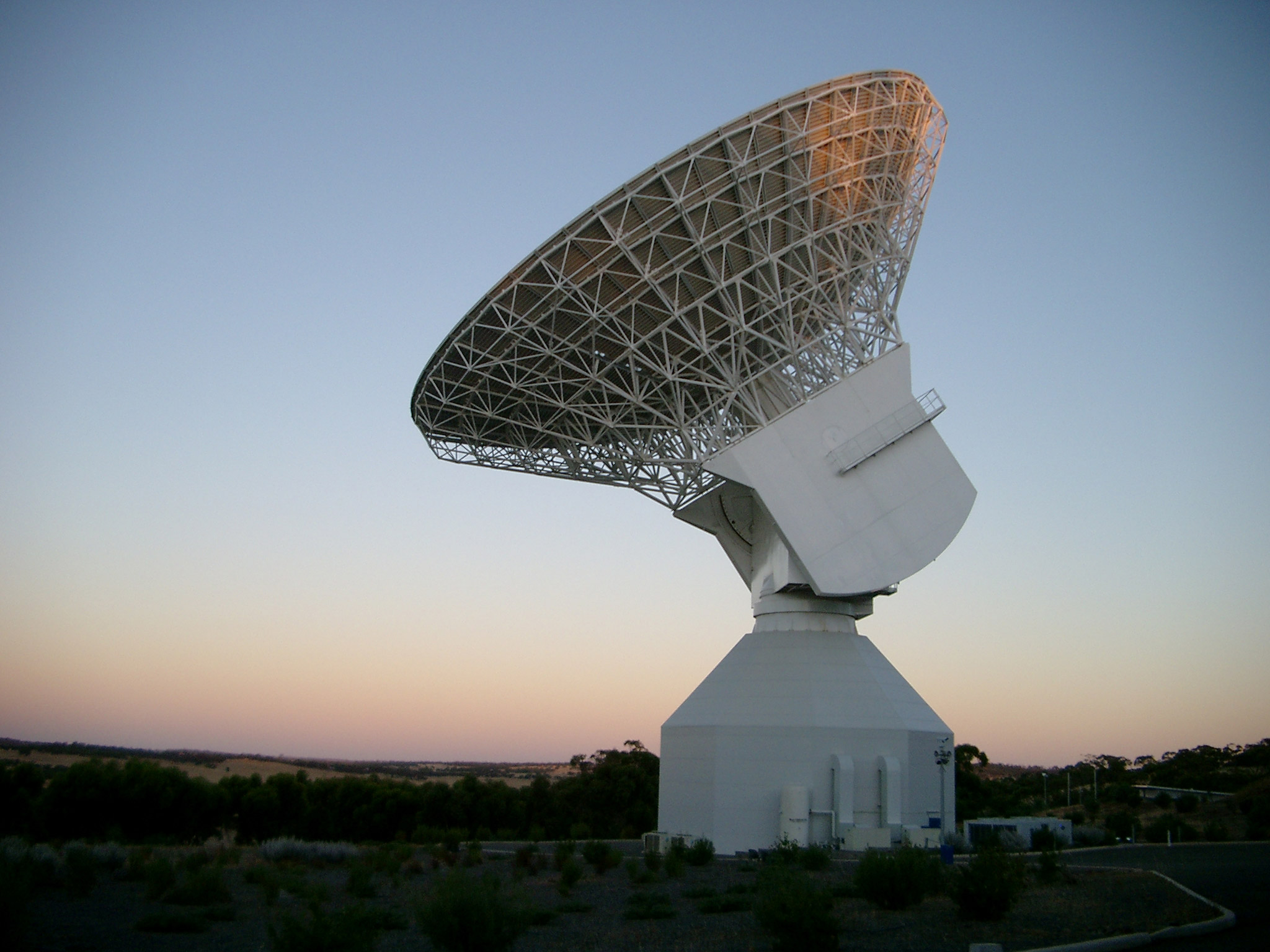
Satellite technology is being used to monitor and collect data from tailings facilities. Credit: Viasat
Where else is this tech being used?
Communications tech company Viasat also leverages satellites to provide ground-level insight into TSFs.
“We have got a global L-band network and a global Ka-band network,” says Damian Lewis, market development manager at Viasat. “These are frequency bands that we use to connect terminals on Earth using our satellites. The strength of the L-band part is that it is weather resilient… so it is very powerful for when you need to collect data reliably.”
The satellites collect data on factors such as the level and incline of TSFs, as well as localised weather forecasts. This is used to predict periods of heightened water levels and subsequent pressure on the dams.
“We are working with partners who use cloud-based platforms to aggregate the information across different sources of data,” continues Lewis. “If you can pull all that data together, then you can create a near-time data visualisation of what is going on.
The satellites collect data on factors such as the level and incline of TSFs, as well as localised weather forecasts.
“This kind of solution is particularly powerful for closed, remote sites because you can put remote monitoring in place, while still having the ability to constantly monitor and interact with assets. So monitoring is one aspect, but control comes into play as well.”
Other companies already using satellite tech for tailings monitoring include DAMSAT, which uses a combination of InSAR and Global Navigation Satellite System to monitor dam movement, as well as leakage and pollution indicators. The tech was successfully tested at tailings dams at Cajamarca, northern Peru and at Pasco in central Peru.
Terrestrial monitoring of mine tailings
Land-based monitoring systems are also being increasingly harnessed to monitor and identify changes to TSFs and predict potential problems.
One such company is Silixa, which installs fibre-optic cables within dams to provide real-time monitoring of factors such as temperature, strain, seepage and acoustic measurements to detect early warning signs of instability.
The company’s tech is currently deployed at the Hötjärn dam in Boliden, Sweden, which stores the vast amounts of sand and slag produced at the mine. Silixa’s temperature-monitoring fibre-optic cable was installed along a 13km stretch within the structure. This was deployed alongside a seepage monitoring system from Hyrdoresearch to calculate seepage flow rates.
Another company deploying terrestrial monitoring systems is Mineração Morro do Ipê (MMI), a Brazilian mining company managing the Ipê and Tico-Tico mines and iron ore processing units in the Serra Azul region of Brazil.
MMI is working alongside tech companies Hexagon and Leica Geosystems to roll out continuous data monitoring solutions at the sites.
Specifically, MMI uses radar and geodetic monitoring systems, which continuously scan the sites for land and structural deformations, as well as rockfalls. Leica’s rovers are used for surveys of the land, while its flying Airbot is used for aerial surveys.
Data collected is automatically used to generate reports on trends at the site, allowing MMI to adapt systems accordingly.

Fibre-optic cables, rovers and drones can be used to monitor tailings dams. Credit: Janelle Lugge / Shutterstock
The future of digital tools for tailings management
An emerging tech set to have an impact, according to Lewis, is direct-to-device connectivity using cellular-based tech such as narrowband Internet of Things and applying it to satellites.
“This essentially means you will have small, low power devices that you can use to scale a solution very cost effectively and allow devices to be terrestrial versus non-terrestrial agnostic,” says Lewis. “This means that a particular device will be able to seamlessly switch between the different sources of connectivity – whether that is from an Earth-based cellular tower or one of our satellites,
Mining is an industry with significant cost pressures, so anything that allows organisations to automate processes in a cost-effective way will make it even easier for companies to adopt.
“Mining is an industry with significant cost pressures, so anything that allows organisations to automate processes in a cost-effective way will make it even easier for companies to adopt,” he adds.
As mentioned by Bayaraa, the rise of AI and ML tools is also changing the efficacy and use of monitoring tech, helping companies more effectively sift through data and adapt systems accordingly.
“AI is allowing people to collect data in a more intelligent way,” Lewis states. “Rather than collecting everything, you might use edge technology that decides what information to send you based on a hierarchy of criteria.”
“We are getting more and more innovations in the satellite world, which means we are getting more satellite data,” adds Bayaraa. “To process this data you need relevant data ML – so development is reliant on this chain of innovations happening.”
Progressing towards digital twins of TSFs
As monitoring tools become increasingly accurate, there is also more of an opportunity to create digital twins of mine sites and TSFs. These virtual assets update in real time to reflect changes in a facility’s structure and operation.
Of her project, Bayaraa says the ultimate goal is to establish a digital twin system to monitor these critical infrastructures in real time, although she notes her research is only one piece of the puzzle.
Cross collaboration will be essential to seeing this tech progress.
“As my research may address one element of the digital twin vision, another project may be working to fulfil another vision,” she explains. “In this way, we are slowly working to fill these voids so that one day we are in a position to begin deploying it.”
In digital twins and beyond, Bayaraa says cross collaboration and interoperability will be crucial to seeing further developments in tailings management and monitoring.
“Multidisciplinary findings are key here because people are creating this data, but miners need help fitting it to their needs,” she says. “Cross collaboration will be essential to seeing this tech progress.”