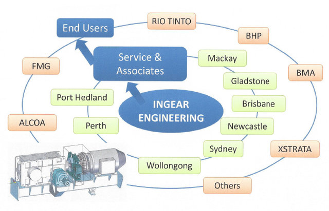
DONLY InGear is part of the public-listed, international, specialist, Industrial Gearbox Company known as NINGBO DONLY TRANSMISSION Co. Ltd. We have been supplying high quality, competitively priced Gearboxes around Australia since 2005 which provide unequaled economical solutions to the mining and process industries throughout the country.
We are:
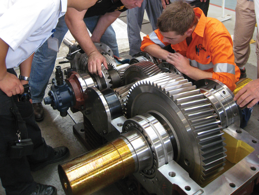
- Very well qualified
- Very well experienced
- Dedicated to customer service
We provide:
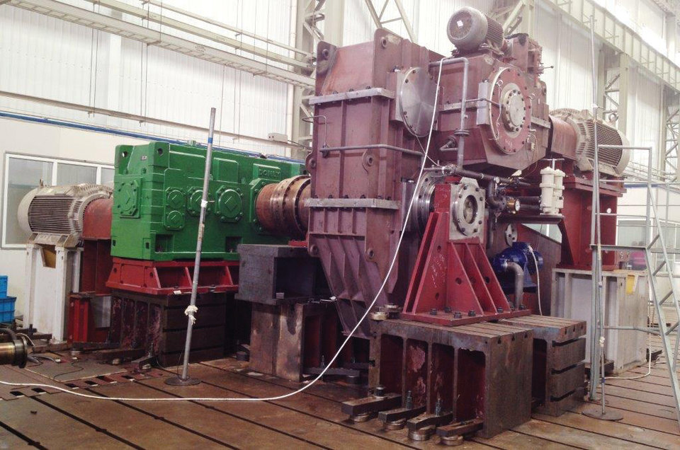
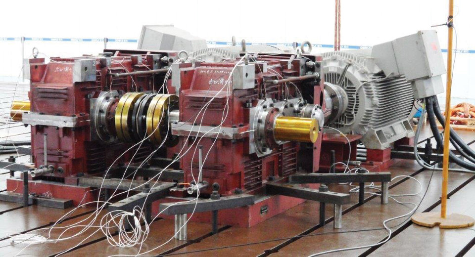
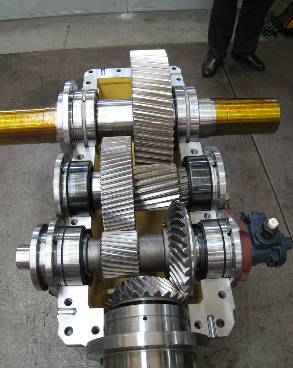
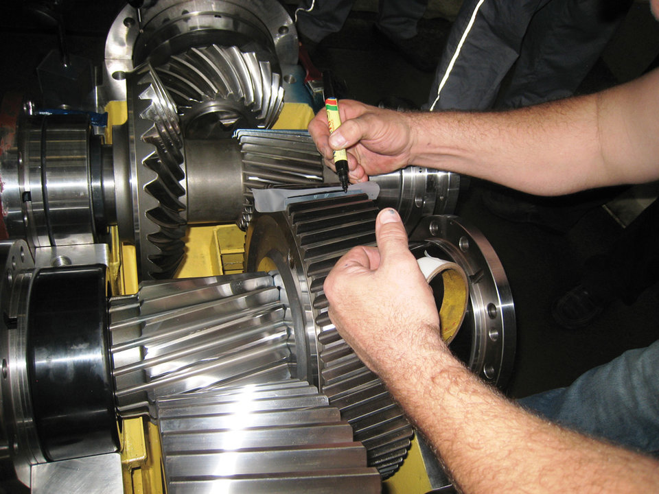
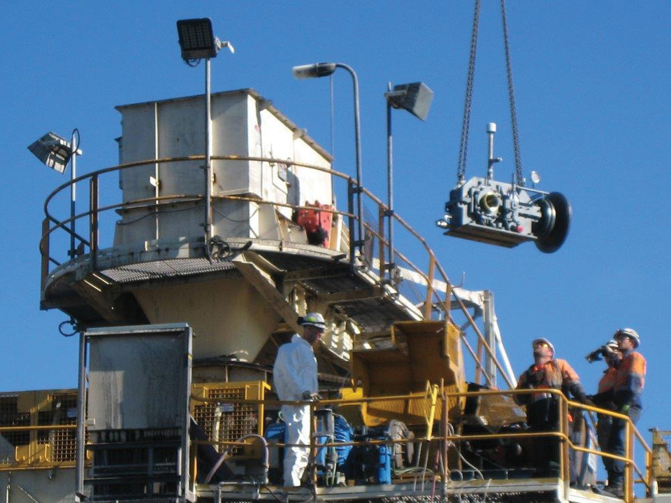
- Independent witness testing of all Gearboxes
- Fully detailed inspection reports
- Full Load testing as required
- Quality Assurance Management System